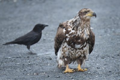
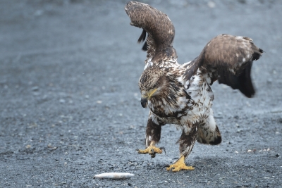
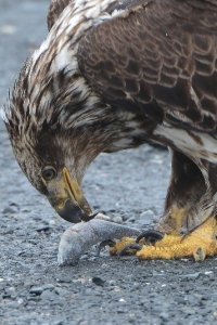
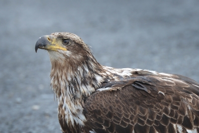
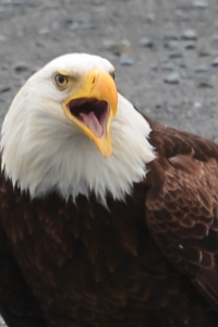
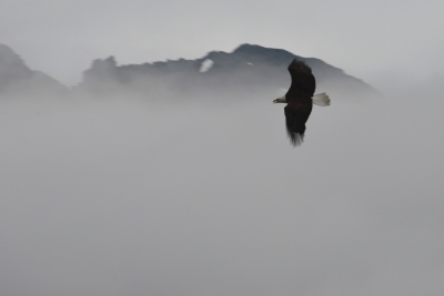
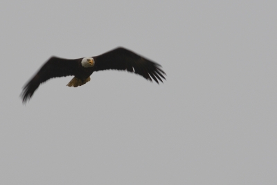
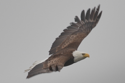
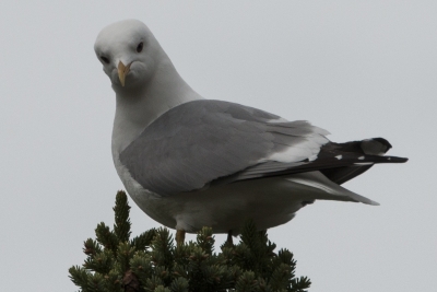
One morning we woke up to visiting Bald Eagles.
Category: RV Travel in Camp Casa
Glaciers, Mammals and Birds of Prince William Sound
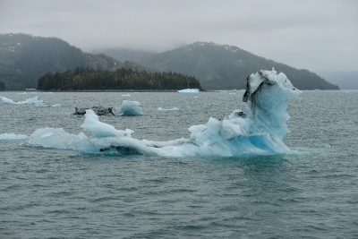
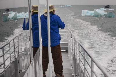
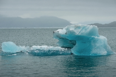
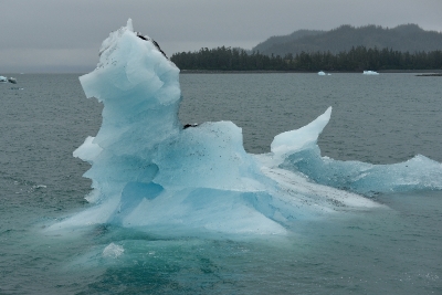
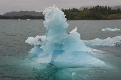
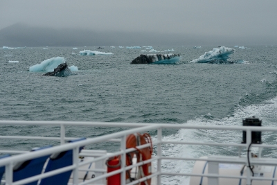
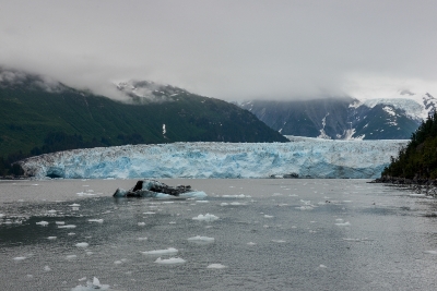
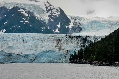
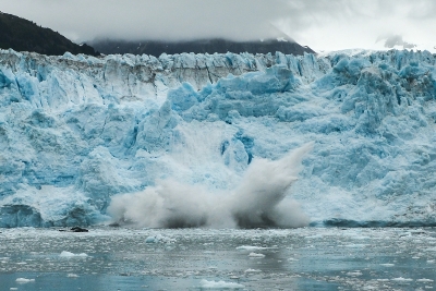
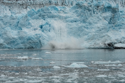
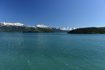
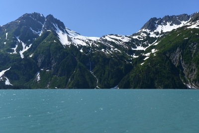
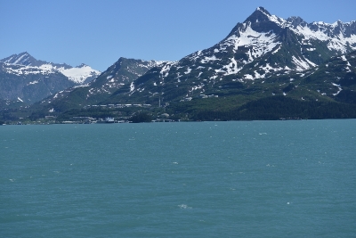
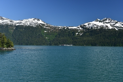
The 9-hour tour was a perfect way to discover all of what Prince William Sound has to offer – amazing glaciers, exciting wildlife and a rich history. The cruise toured the majestic waters of Prince William Sound from Valdez to Meares Glacier. There was great scenery along the way. Check out the amazing size and shapes of the icebergs.
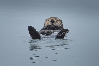
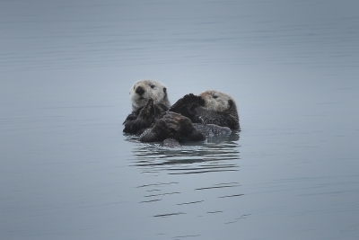
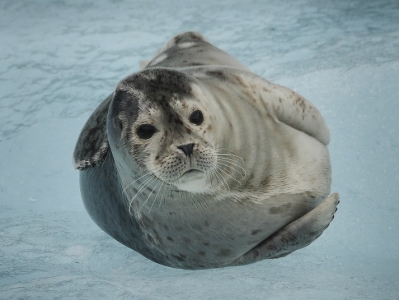
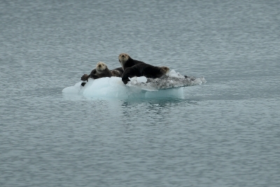
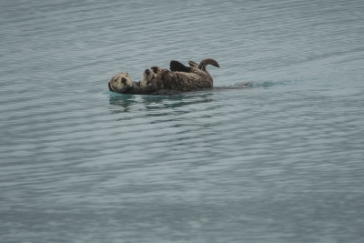
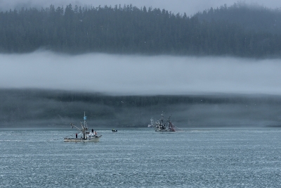
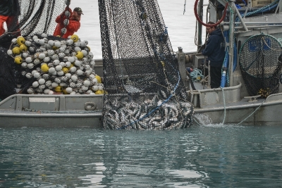
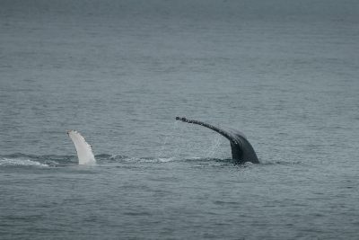
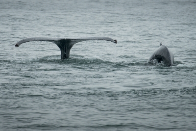
It was an overcast day with scattered fog. We saw many fishing boats and with one them reeling in their nets with a few hundred pink salmon. During the tour we photographed: Tufted Puffins; Stellar Sea Lions; Humpback Whales; Sea Otters; and Harbor Seals. The Sea Otters and Harbor Seals posed just for us.
Note: There are two pages of photos. After seeing the first set of photos click on [2].
Valdez, AK – June 23 – July 8
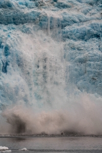
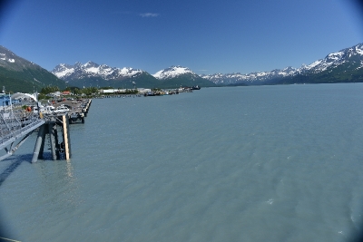
Spending 2 weeks in the Valdez area: included a 4 day side trip on the Alaska Marine Highway, by ferry thru Prince William Sound, to Cordova; kayaking; saw a 208# Halibut catch; bicycle riding; and a great glacier and wildlife tour thru Prince William Sound to Meares Glacier. We were fortunate to see a very large calving glacier. CLICK on this link to see a video of the calving: Meares Glacier Calving3
In 1989, the Exxon Valdez leaked over 11 million gallons of oil into Prince William Sound. The cleanup has been a great success and there are no visible signs of the oil spill. The town of Valdez was destroyed by a major earthquake in 1964, the town was relocated and rebuilt 4 miles from the old town site.
We will be posting great photos of the Glacier and Wildlife on the next post.
Million Dollar Bridge, Cordova, AK – June 24 – 27
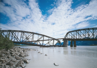
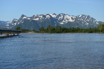
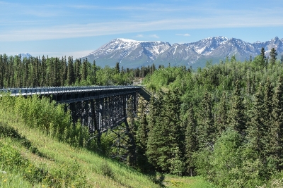
Bridge to Nowhere or Million Dollar Bridge.
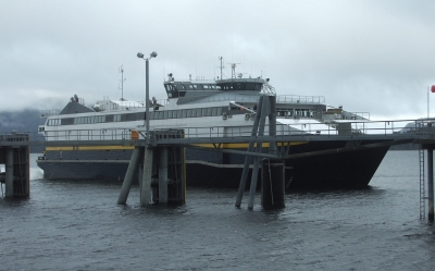
Leaving the 5th wheel parked in Valdez, we took a 3-hour ferry ride, along with the truck, to Cordova. Cordova is a small city located near the mouth of the Copper River at the head of Orca Inlet on the east side of Prince William Sound.
Cordova is a uniquely Alaskan community, shaped by its dramatic natural setting, rich cultural heritage, and colorful residents. Cordova is a working town, nestled in the heart of a spectacular wilderness that still looks to the ocean and forests for its livelihood.
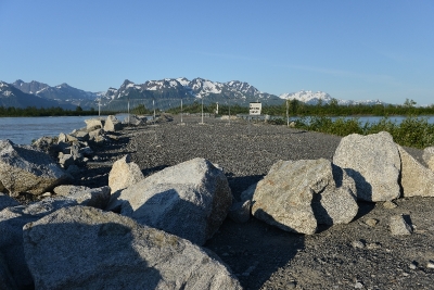
The Miles Glacier Bridge, also known as the Million Dollar Bridge, was built in the early 1900s, across the Copper River fifty miles from Cordova. It earned its nickname because of its $1.4 million cost, well recouped by the about $200 million worth of copper ore which was shipped as a result of its construction. One span of the bridge was damaged by the 1964 Alaska earthquake and slipped off its foundation after the earthquake. The bridge was placed on the National Register of Historic Places in 2000. In 2004-2005, the failed span was raised at a public cost of $19 million with the federal government paying over 80% of the cost. However, The project left locals scratching their heads since a makeshift ramp allowed vehicle access and the only thing on the other side is a gravelly area.
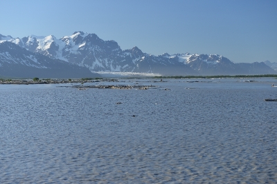
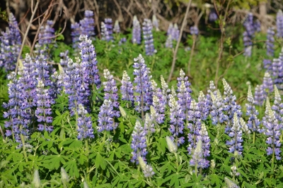
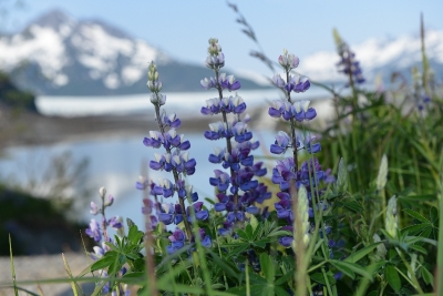
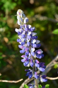
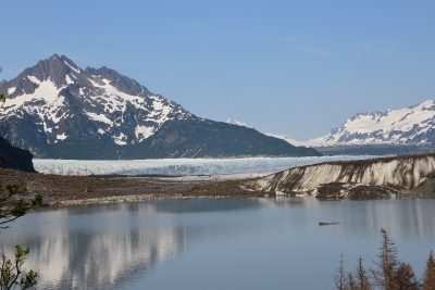
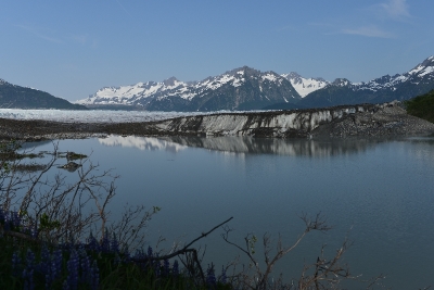
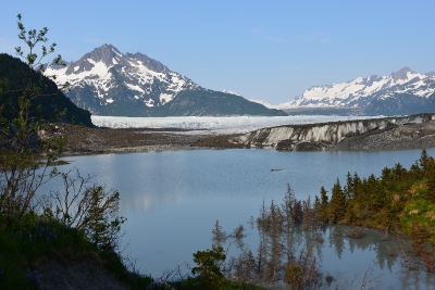
Making things worse, the bridge is no longer accessible by car due to the washing out of another bridge at mile 37 of the Copper River highway. Child’s Glacier is currently inaccessible by car due to the closure of the Copper River Highway at mile 37, there are two guiding services in town that are offering trips to Child’s Glacier this summer via boat on the Copper River. With Child’s Glacier inaccessible, we drove 15 miles and took a short hike and visited Sheridan Glacier. Beautiful Lupins lined the trail.
Flightseeing Wrangell – St Elias National Park & Preserve June 22, 2013
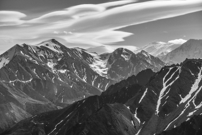
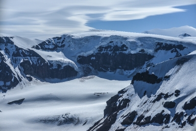
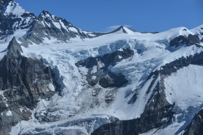
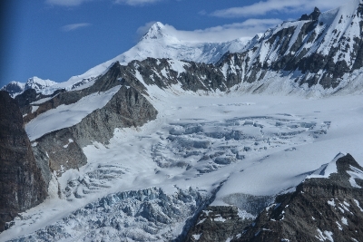
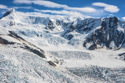
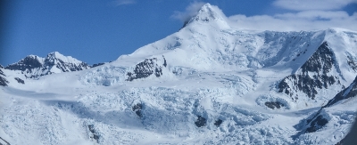
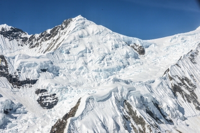
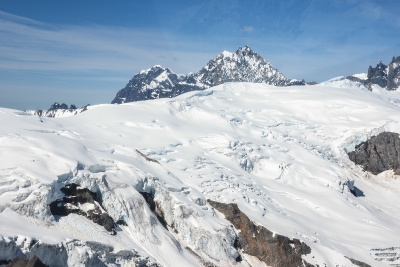
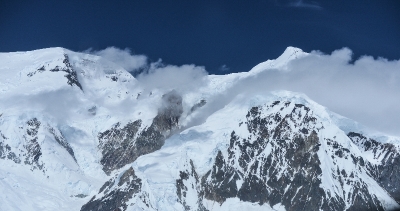
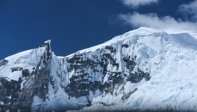
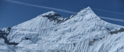
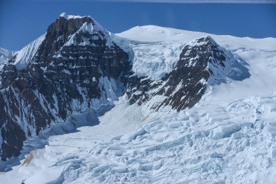
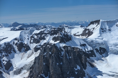
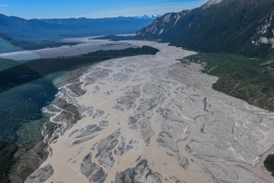
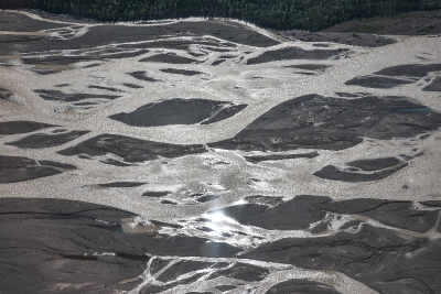
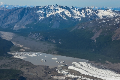
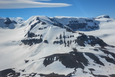
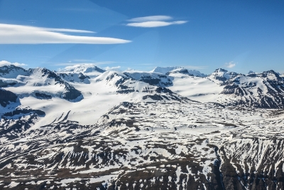
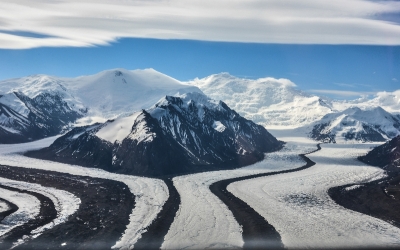
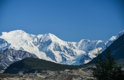
In a park of 13.2 million acres (6 times larger than Yellowstone, bigger than Switzerland, 9 of the highest 16 highest peaks in the USA, more than 150 glaciers) and one road, there is no viewing vehicle better than an airplane. Since we love airplanes, and fantastic scenery on a sunny blue-sky day, David and I seized the opportunity to flight see this park. Here are our results. We saw so many mountain peaks and glaciers I could not even remember all their names; except Mt Blackburn, the second highest peak, after Mt McKinley.
In a Cessna 206: 70 minutes of beauty, of awe, of photography and Mother Nature like I have never seen her before.
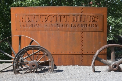
Kennicott Mine, Kennicott Glacier, Root Glacier June 21-23, 2013
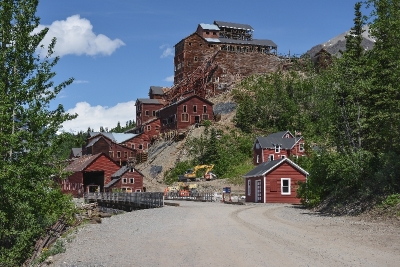
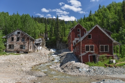
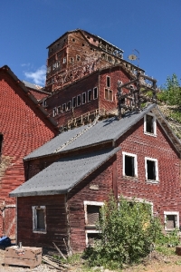
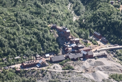
For approximately 30 years, (1906 – 1936) men bore tunnels deep into the earth in search of copper and the Kennicott Mine flourished. It was a town of 5,000 souls, the ultimate company town 100’s of miles from nowhere, and in the early part of the last century, when transport was by horse or walking, nowhere was really far away. The copper was not always easy to find, the mine and associated housing may be thousands of vertical feet up. You need to be a Billy goat to get to work.
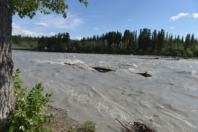
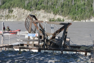
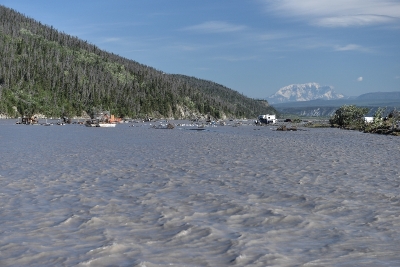
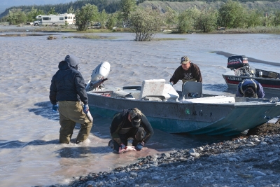
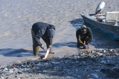
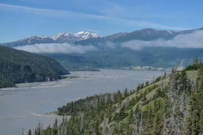
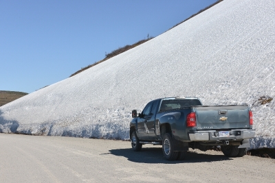
Today, the Wrangell – St Elias National Park, encases Kennicott Mine. The Park Service is restoring the old buildings and celebrates the remote location, the surrounding glaciers and the gritty folk who worked here. Also, the Park became a national holding in 1980, so it is actively homesteaded, and mountains private commercial business. The old boarding house is now a lodge, so once you survive the 30 miles of “paved” road and another 60 miles of dirt covered post railroad tracks, you arrive at the most amazing little place. We included a picture of frost heaved road; I had previously thought it would resemble potholes, but no, it is more like miles of roller coaster. When towing, the truck is up and the house is down and when the truck is down the house is up – you feel like a buckaroo on a wild ride at 30 mph. The drive took us past the Copper River where fisherman were catching and gutting Salmon. Since the copper is very murky the conventional way of fishing does not work, instead they use fishing wheels or dip netting.
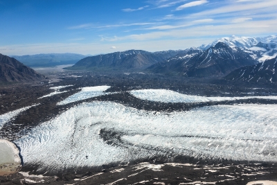
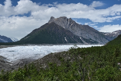
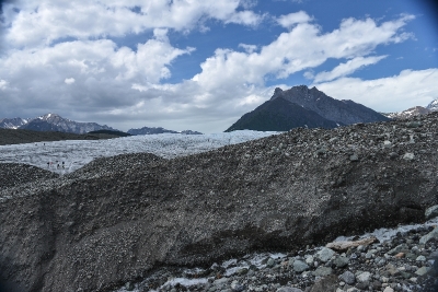
The side trip (we left the house at a nearby campground) was 2 nights, and this town offers historical mine related tours, lots of hiking with glaciers at the end (yes we brought our fleece – wind off a glacier is COLD) and an abundance of wildflowers (clearly we brought our cameras) and flight seeing over the glaciers. The glaciers were easily recognizable as the large moving white masses, but the interpreters explained the big brown acres were also glaciers that had sufficiently melted such that the embedded dirt, and rubble (which does not melt) create an “earthen crust” over hundreds deep feet of ice. You can see caves and tunnels created by water flowing through, and around the earth glacier. The lodge setting and family dining room encouraged interaction from people all around the world. The first night we sat with folks from the Netherlands and China. I love this sort of setting.
The flight seeing was a highlight for us, so much so, we made it into its own posting.
Americas Largest National Park – June 21 – 23
We will be staying 2 nights in the Kennicott Glacier Lodge in the Wrangell – St. Elias National Park. Stay tuned for great photos.
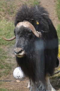
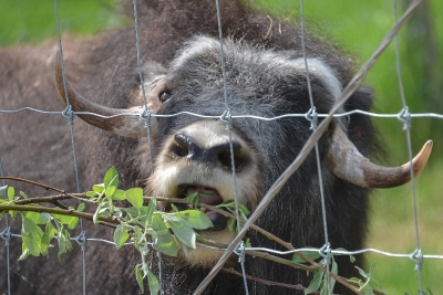
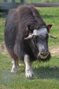
Musk Oxen before departing Fairbanks
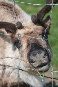
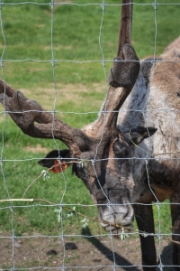
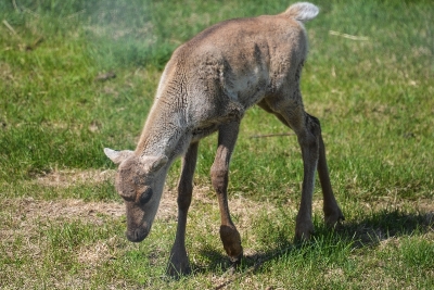
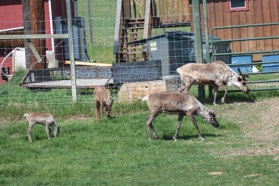
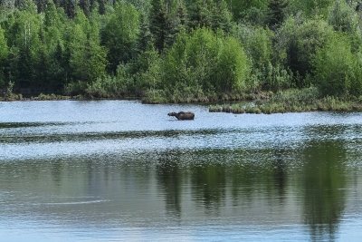
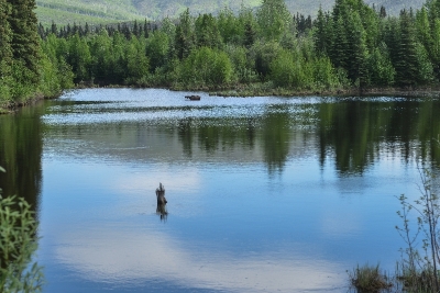
Reindeer; MuskOx; and Caribou were all visible during our visit to LARS or Large Animal Research Station, University of Alaska Fairbanks. To the Northeast of Fairbanks is Chena Hot Springs, where we took a relaxing soak in the natural hot springs. Along the road from the Hot Springs we saw this moose taking its own soak.
One evening in Fairbanks we went to the Alaska Goldpanners of Fairbanks baseball game and had a coca cola and cracker jacks. On the Summer Solstice, June 21, they play a game during the midnight sun. The game starts at 1030pm and ends the next morning all in daylight.
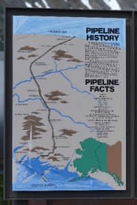
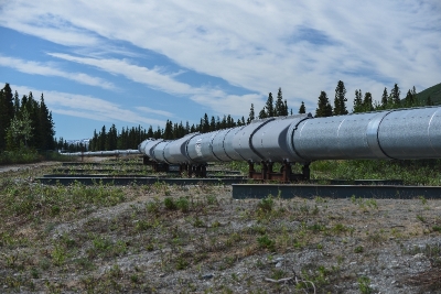
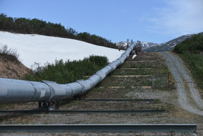
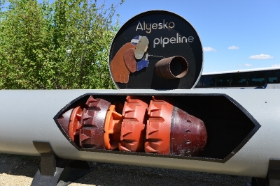
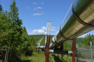
We departed Fairbanks on June 18 to the SE to Tolsona about 14 miles east of Glennallen on the Glen Highway (1). We drove on the Richardson Highway (4) from Delta Junction to the Glen Highway. The Richardson goes south to Valdez; and the Alaska pipeline parallels this road and also ending in Valdez.
Midnight Sun, Fairbanks, AK – June 11 – 18, 2013
Sunrise is 2:58AM and Sunset is 12:48AM. But the sky is never dark; the sun does not actually set as it rides along the horizon until it is time for it to rise again.
We arrived in Fairbanks from Tok on June 11 after a relatively short drive of a little more than 3 hours or 200 miles on what seemed to be the best roads yet. We have traveled nearly 3000 miles (from Burlington, WA) and burned about 270 gallons of Diesel thus far.
One of our first stops when arriving in a new town is to visit the Visitor Information Center. Fairbanks has a wonderful one, named Morris Thompson Cultural and Visitors Center. We were in Fairbanks 3 years ago on a Princess Land and Cruise vacation. There are many sights to see and do here in Fairbanks, probably will not visit some of the must see sights that we toured three years ago.
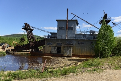
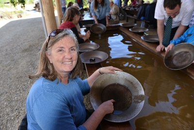
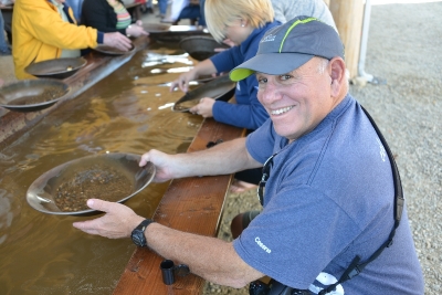
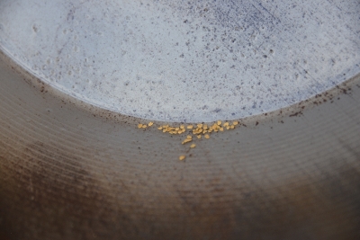
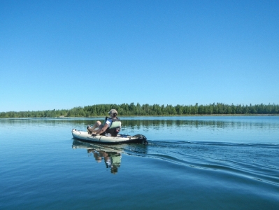
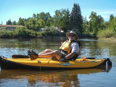
The first few days we rode bikes, toured and panned for Gold at the Gold Dredge No. 8 and kayaked around Chena Lake State Park and down the Chena River. We struck it rich while panning for gold with a whopping $27.00 worth of Gold. The 5.5-mile float trip down the Chena River started at Pioneer Park and ended at the Pump House Restaurant for a much deserved beer and food. One evening we went to a outdoor concert at the University Botanical Gardens.
The weather in Fairbanks has been the best so far, with clear skies and temperatures in the mid to upper 80’s.
Top of the World Highway – June 8 – 9, 2013
There are two ways to drive to Tok, Alaska from Whitehouse, Yukon. One route is north over the legendary Top of the World highway (via Dawson City, Yukon and Chicken, Alaska). This route is gravel and dirt road. Another option is the Alaskan Highway, mostly paved, many frost heaves and construction areas. After talking to many folks that traveled each route, we chose the Alaskan Highway.
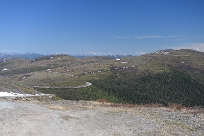
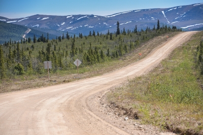
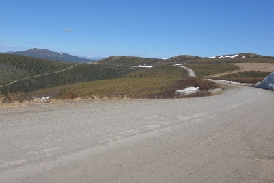
We arrived at a wonderful RV park in Tok, Alaska, 2 days after leaving Whitehorse, Yukon on Friday June 7th. On Saturday we drove the truck to Dawson City via Chicken. Without the RV, it took us 5 hours to drive 180 miles. We applauded our decision to not take the RV after driving on the Top of the World Highway. The road was indeed dirt and gravel with many turns and steep ascents and descents. We observed many RVs and white-knuckle drivers navigating these roads.
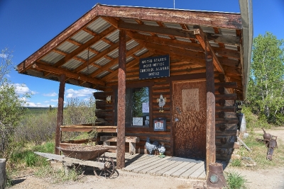
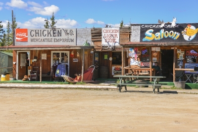
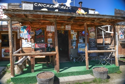
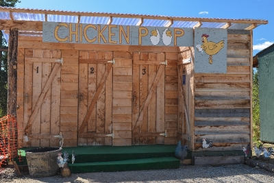
We stretched our chicken legs in Chicken, Alaska, about 60 miles north of Tok. Gold miners settled Chicken in the late 1800s; and in 1902 the local post office was established, requiring a community name. Due to the prevalence of ptarmigan in the area, that name was suggested as the official name for the new community; however, the spelling could not be agreed on so Chicken was used to avoid embarrassment.
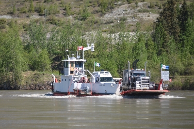
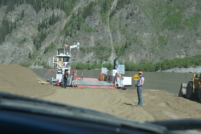
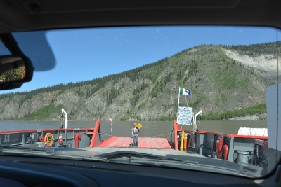
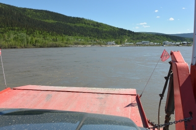
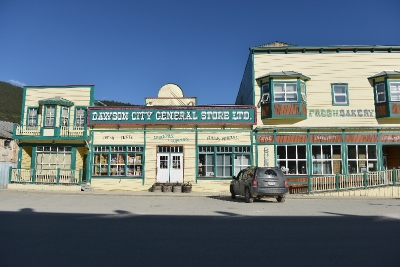
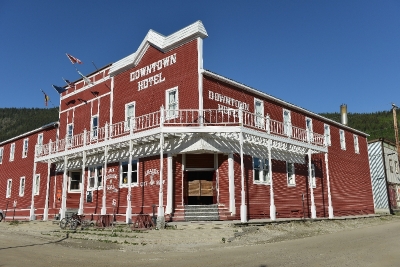
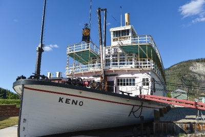
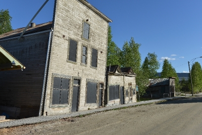
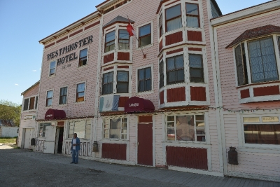
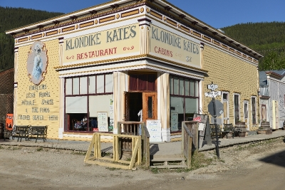
Dawson City, our goal, was the center of the Klondike Gold Rush. It began in 1896 and changed the First Nations camp into a thriving city of 40,000 by 1898. By 1899, the gold rush had ended and the town’s population plummeted as all but 8,000 people left. When Dawson was incorporated as a city in 1902, the population was under 5,000. To enter Dawson from the south, we needed to take a ferry across the mighty Klondike River, just as those first pioneers did. We were thrilled.
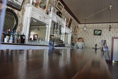
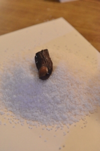
The Sour Toe Cocktail is a Dawson City tradition and is exactly what it sounds like: an actual human big toe that has been dehydrated and preserved in salt, served in a 40 proof alcohol cocktail. The original story was a man lost his big toe one winter, and his partner saved it in alcohol. So today a toe, (the original had been swallowed by some idiot person (IMO)) is placed in your choice of 40 proof whiskey, gin, or vodka. You must touch the toe with your lips as your chug down the drink. It is documented you will do anything on a dare (duh). Over 47,000 have taken the dare so far. We chose to pass on this venture. The bartender confirmed that people have donated their big toe to the bar, so there are a couple spares in the back just in case. (I knew you would be worried about that detail.) Oh, just in case you are wondering, neither David nor Karen drank, nor played with the toe.
Tok, Alaska – June 7, 2013
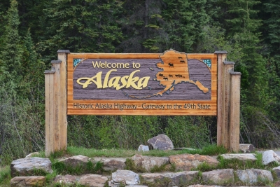
We made it to Alaska!!! After driving nearly 2,200 miles we arrived in Tok, Alaska where the sun sets at 11:43 pm and rises again at 3:15 am.
Last night we stayed in a wonderful RV park 33 miles south of Beaver Creek, Yukon. There was a community campfire (everyone off loading the firewood obtained in Canada which is not allowed in the USA). We met fellow RVers also heading north. What’s interesting is every one heading “North to Alaska” has great stories of their trip and some folks have done the trip several times.
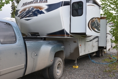
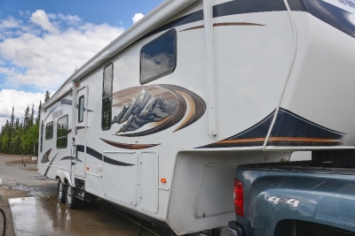
The road between Destruction Bay and the border is rumored to be the worst part of the drive, dirt and gravel road that were wet down to reduce dust but increase mud on your vehicles. Check out the caked on mud on both the truck and RV. At the campfire last night we had a vote on which RV had the most mud. We were told the RV Park manager that the closest RV wash is in Tok. The rumors are correct. As some point the wash boarding was so bad that we were going 10 mph and that seemed too fast. The arrival time on the GPS kept getting further and longer down the road. Once we passed into Alaska, the roadway was dramatically improved. Clearly there were some frost heaves, but generally the road was well cared for and easy to travel.
At noon today we arrived at the Alaska border crossing and were greeted by a customs official. There were no other vehicles in front or behind us, we were entering the border solo, just Karen and me and 55 feet of RV and Truck. We were ready with all the answers, no firewood, all fruits and vegetables in a bag ready to hand over. He asked only two questions: “Do you have any firearms; are you carrying more than $10,000”? The answer to both was “NO”. He took our passports and said he would be right back. He came back a few minutes later and said…. “Have a nice trip”.
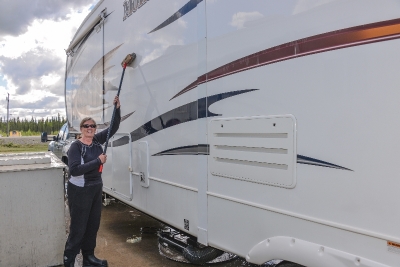
Our first stop is Tok, 70 miles west of the border, and find the RV wash. Before setting up the RV, at our site, we drove directly to the RV wash, taking about an hour and some labor, the RV and truck was clean again. The plan is to be here for 4 days and do some side trips without the RV. One side trip is to visit Chicken, Alaska and drive the Top of the World Highway and spend the night in Dawson City, Yukon. Going to learn all about the gold rush, and the showgirls who entertained the seekers. Just outside of Tok, our AT&T cell phones started buzzing with messages and voice mail that had been waiting for us. It was great to pick up the phone and call home, and all the other reservations we needed to make.
White River Yukon Trail Railroad to Skagway, June 4, 2013
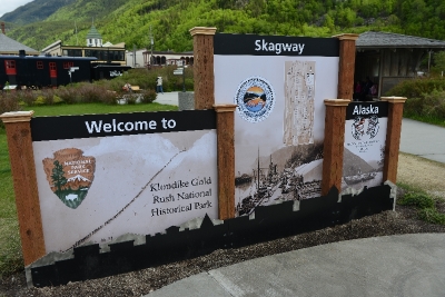
We are in Alaska!!! Skagway for one day!!!
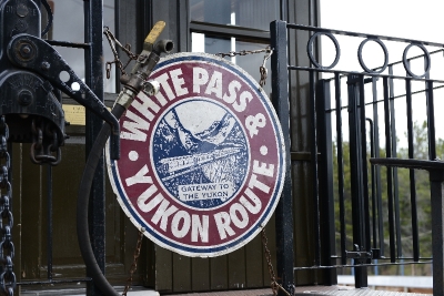
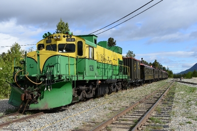
I suppose we should start from the beginning, we are staying in Whitehorse, Yukon Territory. One of the popular excursions for Alaska cruise ships ported in Skagway is to travel by rail over the White Pass, and follow the Yukon Trail. Whitehorse is on the inland side of that pass.
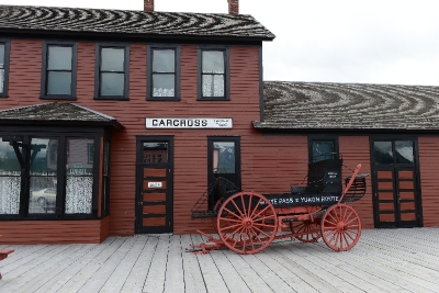
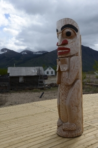
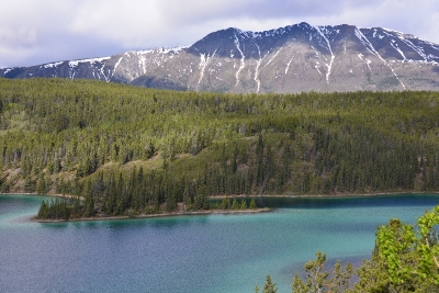
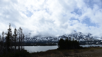
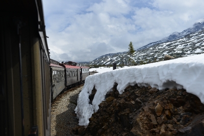
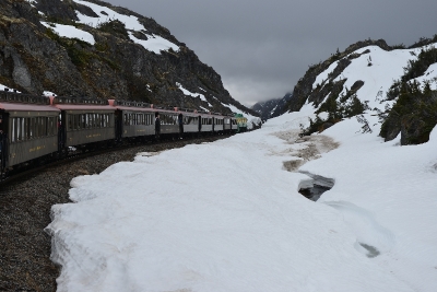
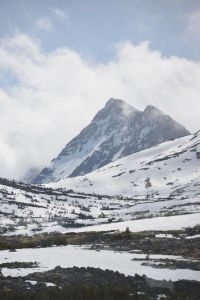
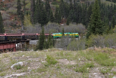
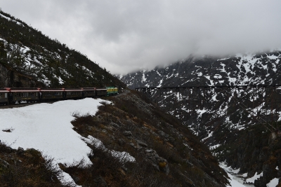
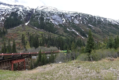
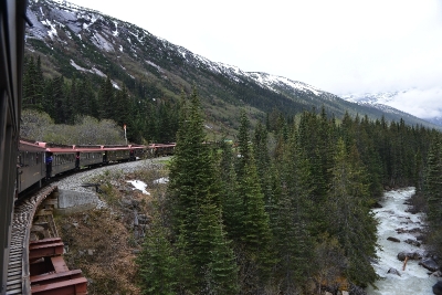
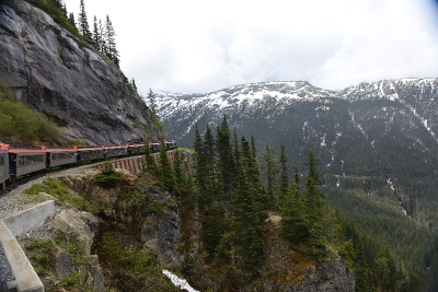
A lovely day. Some overhead clouds but very little rain. Lots of snow still on top, and great scenery. A bus picked us up right at the campground, and drove us along the scenic bypass we contemplated taking yesterday. Emerald Lake, with its 20 shades of green, Caricross with the Native American art, and finally the train to Skagway, ALASKA. The 27 mile narrow gauge train ride was a highlight.
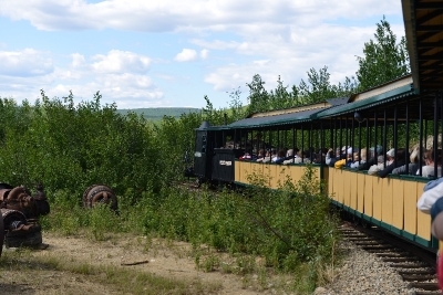
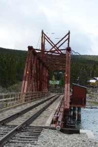
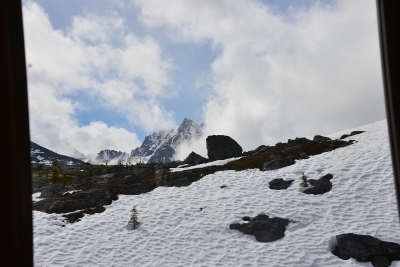
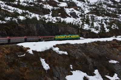
The scenery from the train was dramatic. Lots of drop offs and curves where you can see the engine chugging around the curve in front of you. Lots of history of the gold seekers who walked up this path with one year of supplies on their backs, or the backs of pack animals. I can’t imagine doing this trail with the modern day boots and equipment knowing it was a two week stint vs. a new life, these people had grit.
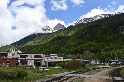
Skagway had 4 ships in town, we had memories of being in town a few years ago when we enjoyed the inside passage on a Princess cruise. It was that trip that was the seed to our current adventure.
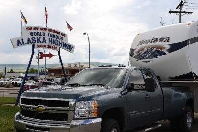
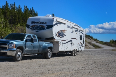
The Alaska Highway, Stories from the road The long and winding road . . . . . .
Dawson Creek is the only place I have ever cruzed down Main Street along a parade of trailers and rigs and every old geezer sitting proud like kids in the candy store. What a great kick-off to a great trip.
The people really look after each other here, some guy waved us down because one corner of the spare tire holder had broken (and two other corners were loose) creating a scary wobble and an imminent spark-filled under carriage. Our neighbors at the RV park that night spent a couple hours congregating supplies and tools and putting us on the road again. People can be so kind.
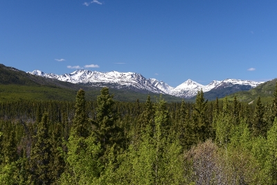
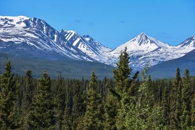
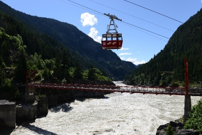
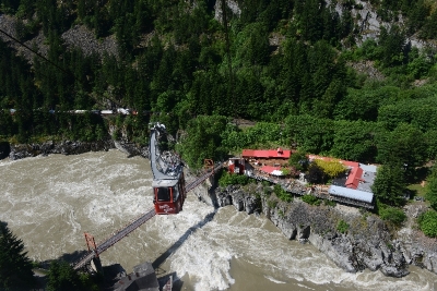
Most of the campsites have been inside some forest, no surprise there. Most places we stop align with a side trip we want to accomplish, for example Hells Gate which is a tram that takes you down a mountainside over this huge rapid system; the signpost forest in Watson Lake where over 75,000 signs have been erected from people all over the world when they stop in this little burg; or finally the Northern lights center who explains the aurora borealis in understandable terms.
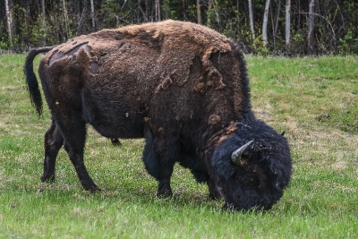
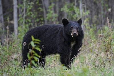
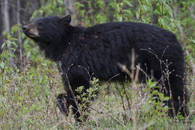
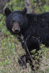
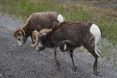
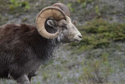
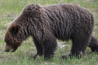
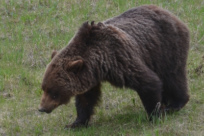
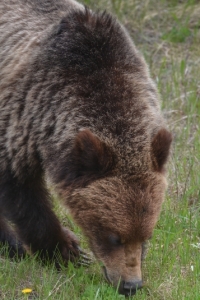
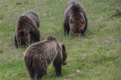
Our animal count is 3 moose, 2 dahl sheep, 3 grizzlies, 1 otter, a dozen black bears, and a hundred bison.
The bears LOVE dandelions, and lucky for us, the flowers grow on the edge of the mown highway. Look at the pictures, the claws on those bears are HUGE, good thing there is a tall door between us and them.
David is driving and Karen is navigating. I suppose there is a reason for that. One day when the narrow roads were horrible with frost heaves, and the sky was pouring rain and we were driving slowly for hours and hours, an alarm went off. Karen’s response was to look in the Alaska milepost to find the next turnout, just 3 miles down that hill she proudly determined. David, who only has to deal with the roads, the weather, the truck and the alarms, says — NO HILL! NO BRAKES! the truck moves into a new alarm: beep, beep, beep TRAILER DISCONNECTED beep, beep, beep. No waiting, we got over the best we could, the roads were so rough, the big black cord had shaken out of the socket. We plugged it back in, tied it down and kept on going. So looking forward to a stiff drink when done for the day. The reason David drives is because he knows where things like the brakes are. Karen will keep her nose in the navigation book.
We boon docked for the very first time. No services, only us, a lake and a primitive camp site. The wine was chilled and the lake was beautiful. We learned to capture water from the hand pump down the way, heat the water on the stove and do the dishes. We opened every window blind, especially the big picture window at the rear, and turned our chairs around to look directly at the lake. The sunset was incredible, not to mention it happened at 11:30 PM! There was a opening ready for a boat right in our site, so we went kayaking. And the campfires!
Whitehorse, Yukon – June 3 – 5
We drove today for over 5 hours and arrived in the western part of the Yukon in a major town named Whitehorse. We are 100 miles Northwest of Skagway and 600 miles east of Fairbanks. We are considering changing our Alaskan point of entry from Skagway to Fairbanks. Our plans are to Leave Haines and Skagway to last.
Stay tuned for photos of Whitehorse.
Muncho Lake, BC – May 30 – June 2
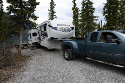
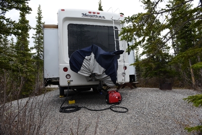
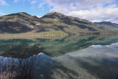
This is the first time we boon docked, meaning no water, power or sewer. We had filled our fresh water tank to 2/3 at the last RV park. However, we did not clean the tank before filling so the water did not taste good and we believed it may have had some bacteria in it. So, no water to drink. No problem, we had plenty of beer and wine. We used our generator twice a day to charge the batteries and to make the morning coffee. We stayed here at this wonderful site for 3 nights and it was nice to slow down.
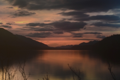
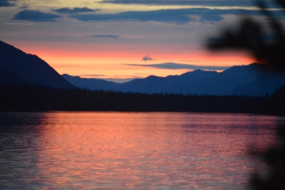
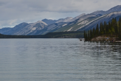
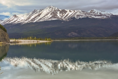
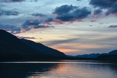
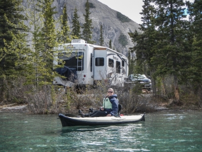
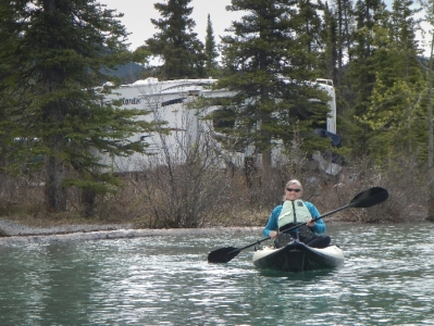
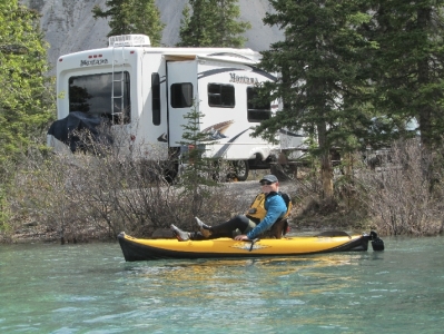
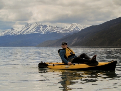
We had beautiful sunsets right from our back window of the RV. Being on the lake we inflated the kayaks and kayaked for several hours. Water temperature was 42 degrees.
Watson Lake, Yukon – June 3
We made it to Watson Lake in the Yukon yesterday. So far over 1600 miles with 600 more to the AK border. Today a 5 hour drive to Whitehorse, Yukon. No cell service and only occasional Internet.
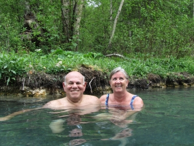
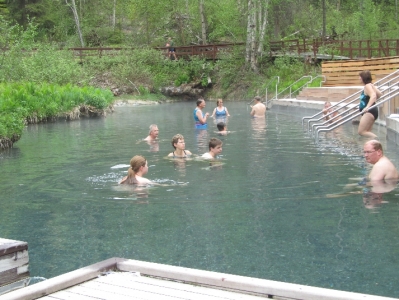
We boon docked (no power, water or sewer), yes we used the generator a few times and our fresh water tank was nearly full, on Muncho Lake BC for three nights before arriving here in the Yukon. We kayaked on the lake and also went to Laird Hot Springs.
Will try to update the blog tonight with photos.
Fort Nelson – May 29
Fort Nelson is at the 300 mile marker of the Alaskan Highway. We arrived here after driving 250 miles in moderate rain. 40 miles from here the rain stopped and skies cleared and temps rose from the upper 40’s to 65. The RV park is full with folks from the lower 48 going to Alaska.
Diesel is the most expensive thus far at $1.50 per liter or $5.68 per gallon. During the drive here, in the pouring rain, the truck started beeping and the display noted that trailer is not connected. The 5th remained mechanically connected but the cable that connects it to the truck for lighting and brakes came loose. We pulled over and tightened the connector and resumed our journey. Trailer brakes are needed to slow down while transitioning the many mountain passes.
Next stop two days at Muncho Lake. Yea! Less than 700 miles to Skagway, AK.
Charlie Lake – May 27 – 29.
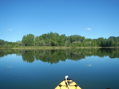
With clear skies and temperature of 65, we kayaked Charlie Lake. This was our first time out in the kayaks of the season and felt great. We were told by one of the locals that the last ice on the lake was two weeks ago, and estimated the water temp at 40. We kayaked for 6 miles along the west side of the lake. Our plans are to kayak the many lakes along our route. Next time we will remember the camera.
May 29, drive 250 miles to Fort Nelson.
Only a 1,000 miles to go to the Alaskan border!
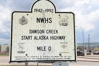
It took a couple weeks to get to the beginning of the Alaskan Highway but we are here, mile 0. The best part is everyone we meet will be headed in the same direction, the adventures club.
The roads are windy, the hills are green with a little fresh white stuff on top, and we are happy campers. Around here, driving down the Main Street of Dawson city in a truck and 5th wheel is sorta like being next to your squeeze in a muscle car. We were all crusin’ and grinnin’ and snappin’ pictures as well.
We saw three moose today, and we learned how to black out the bedroom since the sun gets up at 5 am., and I have no intention of joining the world that early in the day.
We are on our way! Stay tuned.
Lac La Hache, BC – May 25, 2013
Two weeks ago we left Denver for an Alaskan adventure with Camp Casa (RV). Today we arrived here which is just north of the town of 100 mile house along highway 97. Next stop is Prince George. Why Prince George, a stop at COSTCO.
Border Crossing – May 22, 2013
We crossed into Canada spending the night in Chilliwack, BC. While still set up in Anacortes WA, David went outside to check the propane level in our tanks, he saw a bulge in one of our 4 hydraulic lines which feed each of the four slide outs. A bulge would delay our trip until repaired and line replaced.
Called around and most mobile RV service techs are all booked thru Memorial Day. Since Camping World is familiar with our RV, we called them and pleaded our case. They found an opening and asked that we bring it in ASAP. Well this meant that we put every thing away, which we thought had 24 hours to do, and prepare for moving the RV. Camping world is about 20 miles west off of I5. We rushed, put things away, disconnected utilities and hooked the RV to the truck all in record time, about 1 and 1/2 hours, arriving at Camping World at 10am.
We went out for breakfast and waited for what we thought would be a dreaded call. At 1230 we received the call. The RV was repaired and at a reasonable cost. Now comes the decision do we go back to Anacortes for the night or drive into Canada and spend the night. Driving would mean that we would need to find a location to store the Acura. Plans are not to drive the truck and car. We found storage and were on the road by 4pm. Arrived in Chilliwack at 6:30 which included a 45 minute delay at the border.
RV set up in Anacortes, WA – May 15 – 22, 2013
We picked up the RV last Wednesday and set it up in a great RV park in Anacortes. Been running errands and stocking up on food and other things. Now we are trying to organize things better. All the repairs are done. We arrived in the area last Tuesday to review the list of repair items with Camping World. Planning on playing on Monday since the weather is supposed to be clear and near 70. It is great to be home and sleep in our bed. Had rain most of last week.
David sold his road bike and planning on buying a hybrid before we hit the road on Wednesday. He is looking forward in bike riding in comfort.
Had tires on the truck inspected and rotated. Discount tire indicated that the sidewalks on all six tires are cracked and suggested they all be replaced. The tires have 10,000 miles on them and we bought them at Discount soon after we purchased the truck. Tomorrow they will replace them at no cost except for the price of replacement insurance, $200 total. Better safe than sorry and wished we would of replaced them. Bought slime flat tire repair bottles to take along as added insurance.
We bought the generator but have not tried it yet, will do so by Tuesday. Karen is busy putting grommets on a new bike cover. The old one is torn.
We plan to leave here on Wednesday and drive about 3 hours into Canada about 1 hour north of Hope BC.
Departed Denver, May 11, 2013
We departed Denver, with a very loaded and well packed car, after what seems like a very short two month stay. Amazing but it all fit.
First stop is Cody, Wyoming just east of Yellowstone National Park. We arrived at 6pm and enroute and 80 miles from Cody we stopped at Thermopolis State Park to soak in Hot Springs. The next 80 miles was very pleasant.
Happy Mothers Day. Today Yellowstone and staying at the Old Faithful Inn.
